|
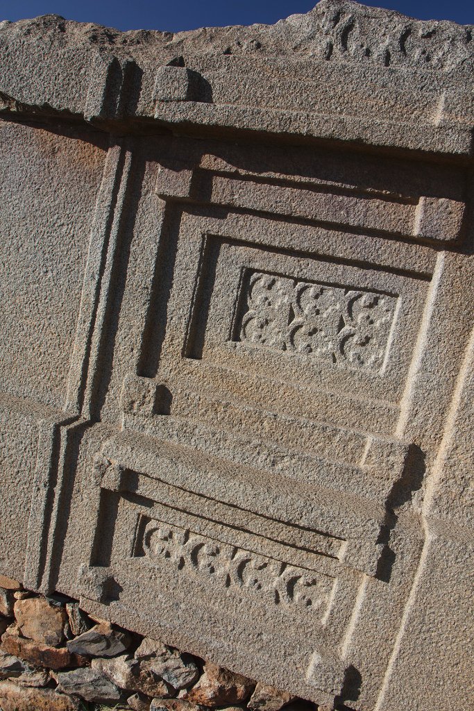 |
| Engravings in the King Remhai Stele | |
| Latitude: N 14°7'54,16" | Longitude: E 38°43'8,52" | Altitude: 2152 metres | Location: Aksum | State/Province: Tigray Region | Country: Ethiopia | Copyright: Ron Harkink | See map | |
| Total images: 33 | Help | |
|
|
|
| Engravings in the King Remhai Stele | |
| Latitude: N 14°7'54,16" | Longitude: E 38°43'8,52" | Altitude: 2152 metres | Location: Aksum | State/Province: Tigray Region | Country: Ethiopia | Copyright: Ron Harkink | See map | |
| Total images: 33 | Help | |